Back in the days when I was on boats, I was seen kind a "big" nerd (almost 2 m tall ex rower and swimmer), because I was always tinkering with tech gear (very basic on those days) on board, then later on the research vessels got the chance to meet the fisheries science and oceanographic nerds (normally much smaller than me). We thinker around statistical modelling, echo sounder setups - calibration and also using and adapting existing gear to get most data we needed. Only many years later (and a massive tech step forward), I got to be involved with people developing Apps for fisheries data collection. I always enjoyed expanding the range of people being interested in Fisheries.
not your usual fisheries meeting
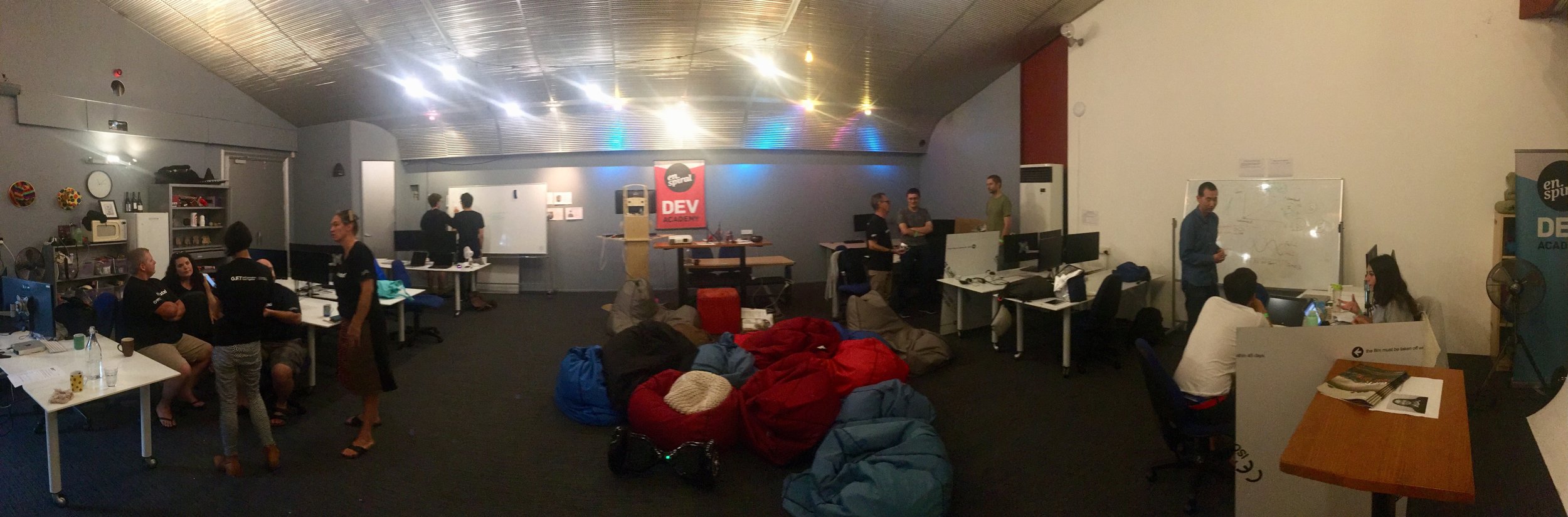
Well this weekend my fisher/nerd interphase take a step further, since I been asked to mentor in the Fishackathon 2018.
The Fishackathon is a global hackathon dedicated to developing tools and apps to help make our planet’s waters, aquaculture, and fisheries more sustainable and equitable. On February 10-11, thousands of world-class technologists will work (usually through the night!) within an extremely short time frame to produce innovative prototypes that address real-world problems sourced by partners and governments. HackerNest is the volunteer-run nonprofit that the U.S. Department of State has partnered with to produce the 2018 series.
This is an even happening in quite a lot of cities, read more here about the Fishackathon host cities.
What does mentor do in this event?
Mentors help to guide and advise participants leading up to (sporadically, via hckrn.st/slackreg**) and at the hackathon (6+ hours spread over two days). As a subject-matter experts (most developers aren’t familiar with the fishing) we may have scientists, academics, designers, technologists, business mentors, and others to provide support to teams by sharing their insights, experience, and feedback. This helps to ensure that teams are building projects that are both relevant and useful.
What is my take about it?
Well... some of the challenges presented are a bit wishi washi in my opinion… I'm always a bit afraid to sound to cynical or arrogant in my criticism of initiatives. Is not based on any form of malice, is only that I been a log time in this game and I’ve seen very good intended initiatives being ripped apart (by those not interested in having transparency and new tools in the fishery) based on their inapplicability or lack of technical consistency, instead of being evaluated for the potential outcomes.
I see a lot of big words and really “open ended” outcomes on the presented challenges.
I personally see Apps as very practical tools to do a well-delimited job, and some of these challenges are in my opinion, way too ambitious for one tool to be developed in two days… but there have been proposed by some “BIG” names (EJF, MSC, Global Fishing Watch, Stockholm Resilience Centre, and so on)
I also presented as an individual (without the backing of any institution) a challenge for tool, a Boarding and Inspection Officers Support App. My request is a very straight tool that help inspectors in the Pacific to their job: a Android based App for a tablet, that using 3G or 4G network could be able to tap into a IAS based platform for the WCPFC authorised vessels, and support the following functions:
- Via a simple interface, allow the boarding officer to input the vessel’s ID elements and a limited range of dates (i.e max 60 days) for the App to provide track of that vessel during those days plotted over a google map (or earth) platform.
- Once the vessel data is graphically plotted; have a function that allow the boarding officer to manually enter a position he sees in the logsheet or log book and the App "mounts" the position entered manually "over" the AIS track of the vessel to see if there is coincidence
- If the App could then identify any vessels that were in close contact (0.5 nautical miles or 1 km) with the inspected vessels over the period plotted and provide estimated positions and dates, that would be an amazing source of information to investigate potential unauthorised transhipments, or at sea bunkering.
Such an App would allow the boarding officer to note substantial differences in between the information provided to him and an independent source of information. If notable differences are noted, it could temporally deny port use (along the tenants of PSMA) and refer back to the fisheries office to initiate for solid investigations and evidence gathering. The result of a deeper investigation, could either authorise port use, or lead to a prosecution
As your see,my one is practical tool, presented by just one guy, hence it has no much "glamour" or "fancy words" around it, so I guess I understand why wasn't selected. (Get in touch with me, if you want the full proposal, tho)
Anyway, lets see, how the next couple of days go, is always good to know new people that can bring new perspectives (that hopefully work) into fisheries
